


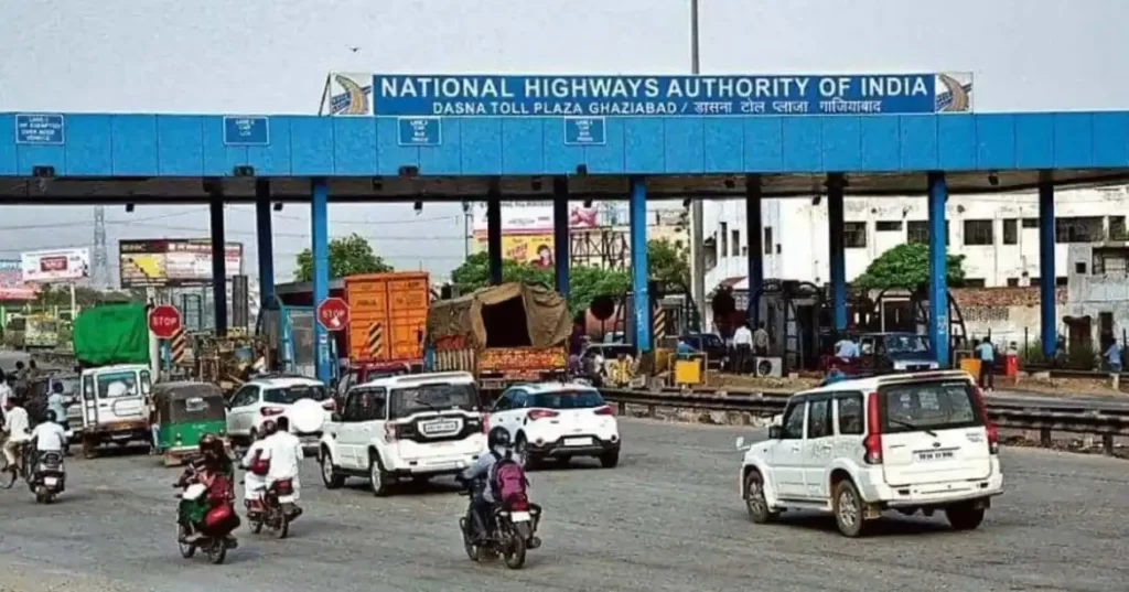
To solve the issue of standing in a lengthy line at a toll plaza, the Transport Ministry of India established the FASTag service. Although it cuts the time spent at toll plazas in half—from 734 to 47 seconds—people still have to stop there if there are any technological difficulties. The Transport Ministry will soon roll out yet another cutting-edge technology to make traveling easier. It is known as the Global Navigation Satellite System, or GNSS, according to a report. This will end the problem of the toll plaza’s traffic bottlenecks. On Friday, July 21, Nitin Gadkari, India’s Minister of Road Transport and Highways, provided information regarding this in the Rajya Sabha session. This was his response to a query posed by Indore-based MP Shankar Lalwani. Lalwani had inquired as to the measures taken by the Indian government to ease the congestion at the toll plaza. GNSS-based gate-free plazas will soon be built across the nation, according to Nitin Gadkari. People won’t need to stop at the plaza as a result of this. He said that a consultant has been hired by the government to work on this strategy.
Additionally, in order to allow automated toll collection without halting cars, the Ministry of Road Transport and Highways is working on a pilot project using an automatic number plate recognition system (automatic number plate reader cameras).
What is the Global Navigation Satellite System, you ask?
An electronic receiver or gadget may pinpoint its high position with extreme accuracy thanks to GNSS. It is determined using this method using altitude, longitude, and latitude. It offers positioning, tracking, or navigation. Positioning, navigation, and timing (PNT) services may be used to both regional and global level services. worldwide Navigation Satellite System (GNSS) receivers receive signals from space that provide location and timing information to satellite navigation systems with worldwide coverage. A constellation of satellites—typically 20–30 MEO (Medium Earth Orbit) satellites dispersed over many orbital planes—receives the worldwide coverage.
How is GNSS road pricing implemented?
The location and time are recorded using GNSS by the on-board or in-vehicle unit installed in the vehicle. This distance and time are transformed into the trip data by the OBU, or on-board unit. This trip information is used to determine the real toll fees for the journey, which is known as the Charge Data Record. This CDR may be invoiced once or on a recurring basis, and payment may be made via a connected bank account, digital wallet, etc.