


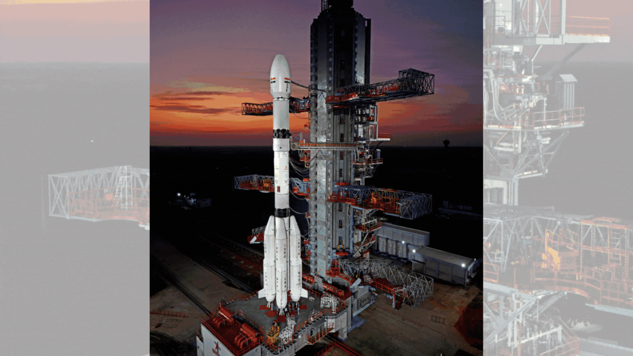
It was around 5.35 p.m. on Saturday that the Indian Space Research Organisation (ISRO) successfully launched its meteorological satellite INSAT-3DS atop GSLV F14. The launch took place at the Sriharikota spaceport.
In addition to studying weather forecasts, the satellite will also research warnings for natural disasters.
The INSAT-3DS meteorological satellite was taken into the Geosynchronous Transfer Orbit (GTO) by the Geosynchronous Satellite Launch Vehicle (GSLV) during its sixteenth flight. The satellite will be placed in a geostationary orbit through subsequent orbit-raising manoeuvres, which will ensure that it is in this position.
As a continuation of the Third Generation Meteorological Satellite’s mission from geostationary orbit, the INSAT-3DS Satellite has been released into space.
The Ministry of Earth Sciences (MoES) does not provide any funds to the expedition in any way.
Enhanced meteorological observations and monitoring of land and ocean surfaces for the purposes of weather forecasting and disaster warning are the primary purposes for which it was built. Additionally, the satellite will supplement the meteorological services that are already being provided by the INSAT-3D and INSAT-3DR satellites, which are now in operation.There has been a substantial amount of contribution from Indian Industries to the production of the Satellite.
In order to improve weather forecasts and meteorological services, a number of departments within the Ministry of Earth Sciences (MoES), including the India Meteorology Department (IMD), the National Centre for Medium-Range Weather Forecasting (NCMRWF), the Indian Institute of Tropical Meteorology (IITM), the National Institute of Ocean Technology (NIOT), and the Indian National Centre for Ocean Information Services (INCOIS), as well as a number of other agencies and institutes, will be utilising the data from the INSAT-3DS Satellite.
The mission’s principal goals are to monitor the surface of the Earth, conduct observations of the ocean and its environment in a variety of spectral channels that are significant from a meteorological perspective, and offer a vertical profile of a number of different meteorological parameters that are present in the atmosphere.
It will, among other things, provide the capabilities of Data Collection and Data Dissemination from the Data Collection Platforms (DCPs), as well as provide services for Satellite-Assisted Search and Rescue.


