


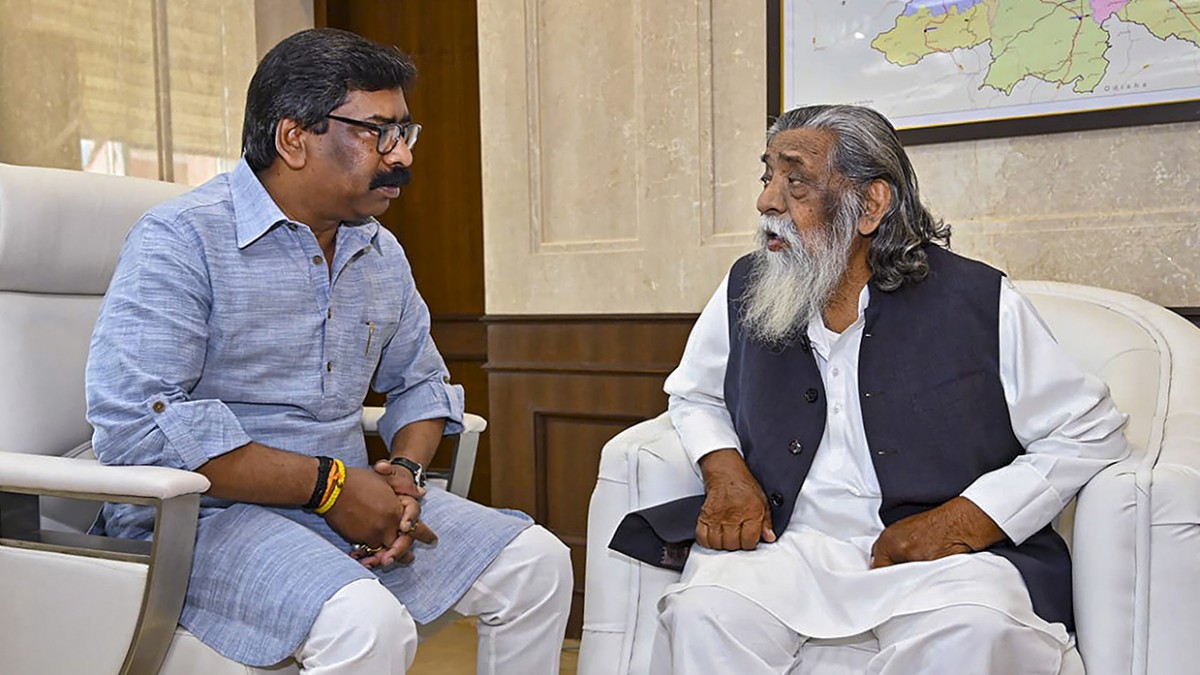
Jharkhand In an effort to boost the quantity and appropriate usage of minor water sources in the state’s mountainous regions, Chief Minister Hemant Soren requested on Thursday that they be geo-mapped.
The chief minister said that Jharkhand had several ‘chuans’ (puddle-like surface water sources) and tiny springs, particularly in mountainous regions.
Soren urged the MGNREGA council to “draft a project for the geo-mapping of all these sources so that their water capacity can be increased and used appropriately.”
The CM also ordered that the wells that are planned to be constructed as part of the marketing strategy be geo-mapped.
Speaking to media representatives, the CM said that the council meeting covered a number of topics pertaining to MGNREGA, a crucial program for farmers, workers, and rural residents.
In reference to the central fund, Soren said that “the state government does not receive the central fund of the plan in a timely manner, which sometimes results in beneficiary dissatisfaction. We have made the decision to bring up this matter in the NITI Aayog meeting.
The CM went on to say that they had also spoken about ways to boost the number of employment under the program.
on accordance with the Birsa Harit Gram Yojana, “I have instructed the officials to plant fruit-bearing trees in 50,000 hectares of land,” he said.


